
Forecasting
Deliver fresh observations in time for six-hour forecast cycles.
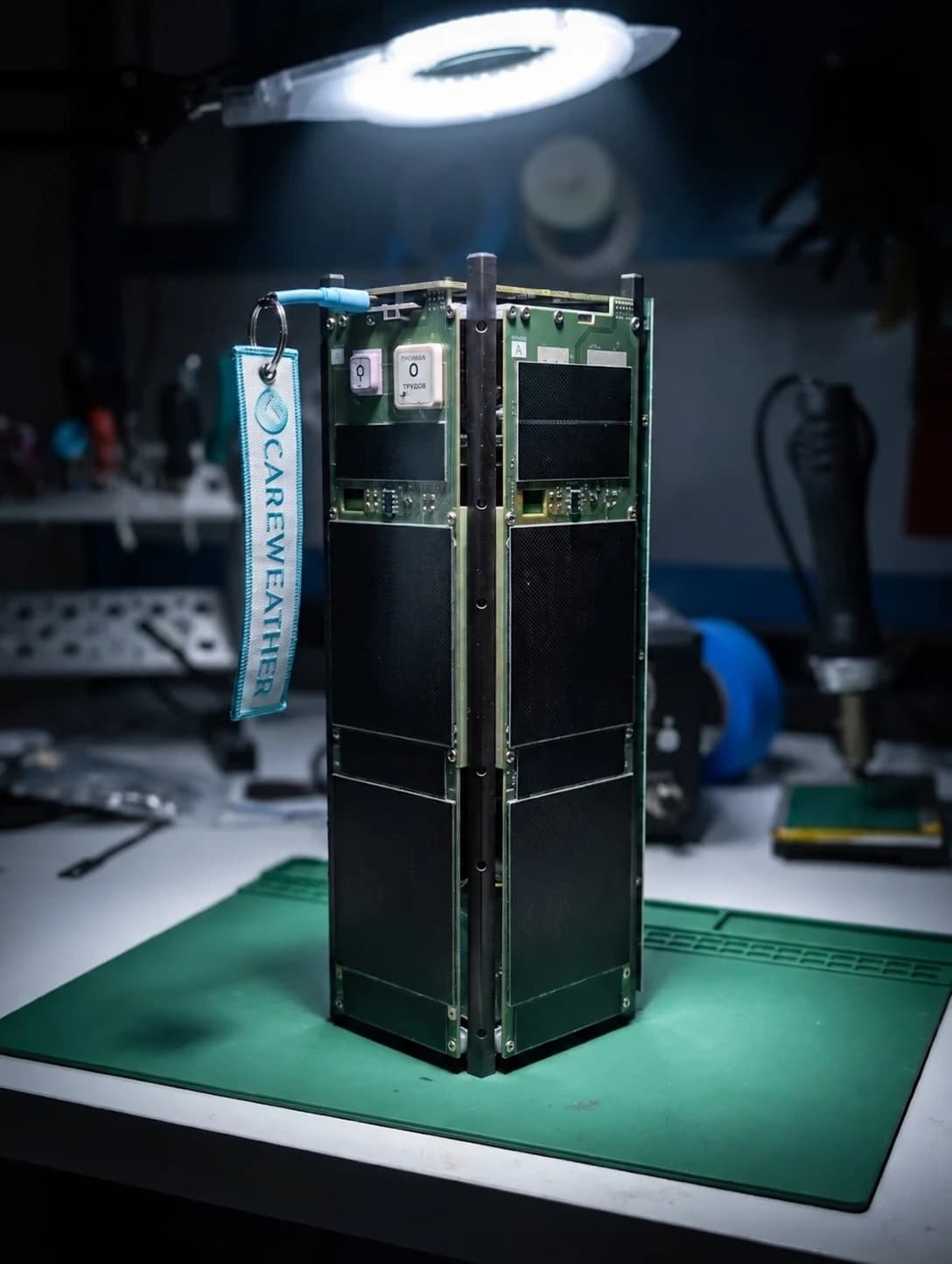
To measure weather, Veery packs a surface-sensing radar, called a scatterometer, into a miniature satellite.
Scatterometers have a long history as workhorses of weather and environmental monitoring. Veery extends this tradition with groundbreaking miniaturization.
Veery profiles the degree to which a surface scatters and reflects 5 GHz radio waves. Veery rotates its long, thin antenna to see both wind speed and direction, mapping a wide swath in a lawnmower-like pattern as it flies overhead.
Veery’s radar sends a radio pulse toward the ocean.
Compare Veery’s target performance with today’s MetOp scatterometers.
Veery performance is simulated. Refresh figures show worst-case gaps versus the landing-page timeline, which illustrates a 17-hour MetOp interval.
Frequent ocean-wind measurements support better forecasts, timely warnings, and a clearer understanding of our atmosphere.
Deliver fresh observations in time for six-hour forecast cycles.
Track fast-changing conditions with measurements of what’s happening now.
Resolve changes over time and test weather models against observations.
Vertically integrated, from hardware and software to manufacturing and mission operations. Our team designs, builds, and operates each satellite from Care Weather’s headquarters in Springville, Utah.
Meet the team
A high flight rate cures many ills: each mission tests what comes next.
Each flight tests a focused set of improvements. Hatchlings (0.1–0.2) proved our core spacecraft systems; Fledglings (0.3–0.9) test the radar and scatterometer.
First satellite with state-of-the-art performance.
36 Veeries to monitor ocean winds every hour across the world.
Tests upgraded spacecraft systems and explores measuring ocean wind speed from orbit.
Our fifth test satellite uses improved guidance systems to help complete testing in orbit and begin measuring winds.
A 3U test satellite developing the radar, pointing control, and communications needed to measure ocean winds.
A follow-on CubeSat in the ocean-wind radar pathfinder program.
A 4U CubeSat manifested for launch, continuing the ocean-wind radar pathfinder program.
A 4U CubeSat manifested for launch, continuing the ocean-wind radar pathfinder program.
A planned miniature satellite with state-of-the-art performance, building on the Veery pathfinders.
Tell us where you need wind measurements, how often you need them, and how you plan to use the data.
Veery is named after a species of North-American thrush whose migration timing across the Caribbean correlates with the intensity of the upcoming Atlantic hurricane season, suggesting an uncanny ability to predict the weather.
It means both the speed and direction of wind at the ocean’s surface. Together, these measurements describe how the wind is moving.
Not yet. We are testing the radar and wind measurements in orbit as we develop the satellite fleet. Contact us to discuss the data currently available.